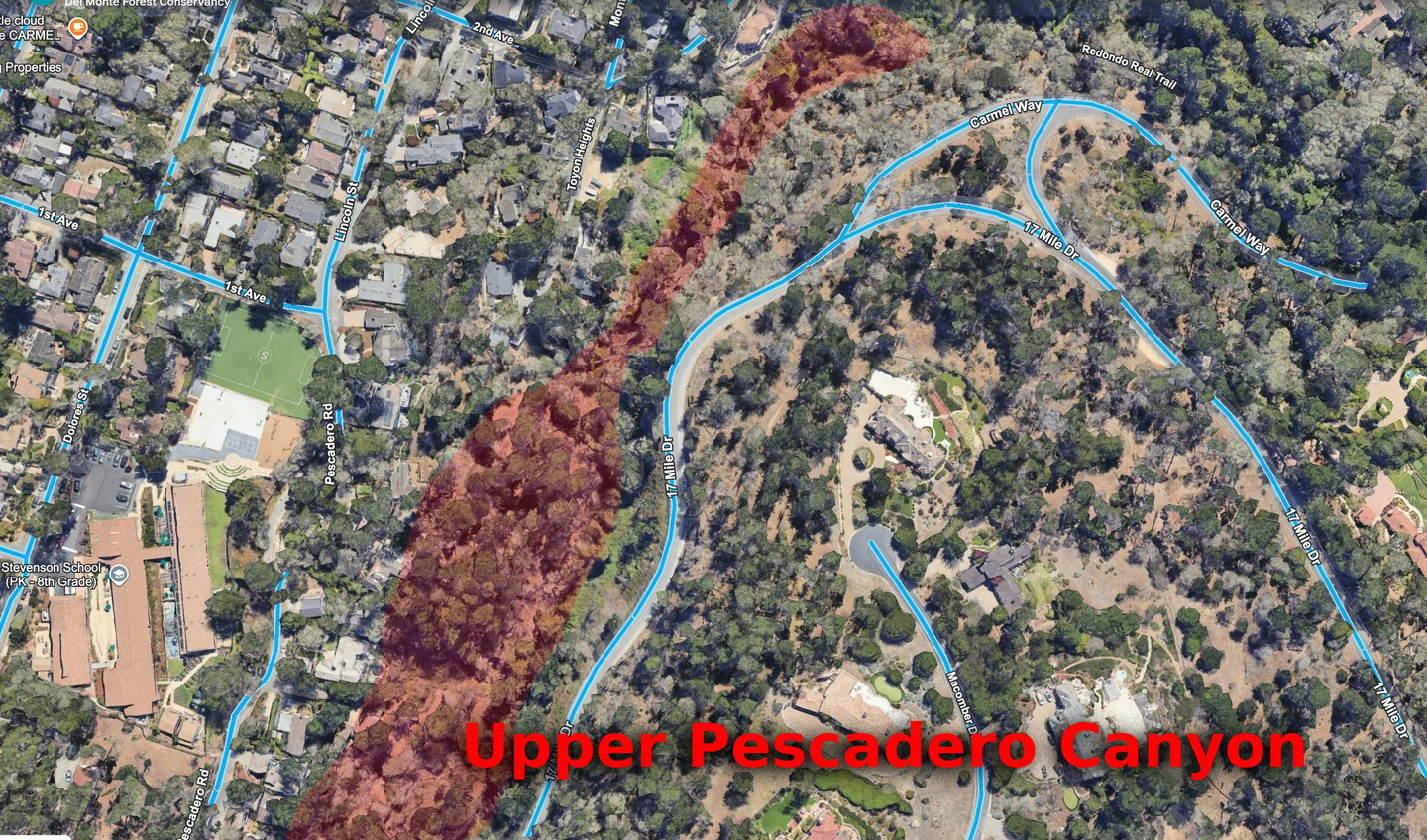
Pescadero Canyon Overview
Hazardous Fuel Reduction in Pescadero Canyon, Carmel-by-the-Sea
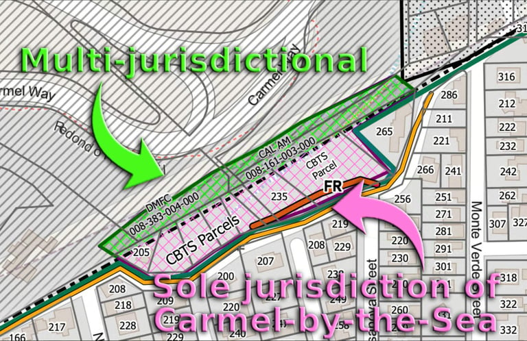
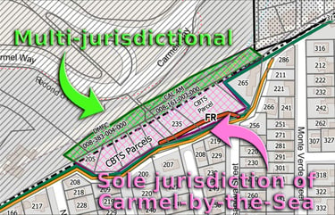
The area under consideration is not all of upper and lower Pescadero Canyon, which involves multiple property owners, jurisdictions, and agencies.
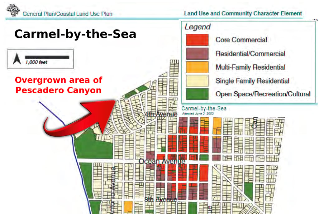
The proposed area for immediate hazardous fuel mitigation consists of six City-controlled parcels along 2nd Avenue, from Monte Verde to North Casanova (shaded in light purple/pink), which falls entirely under the sole jurisdiction of Carmel-by-the-Sea.
These parcels contain approximately 80% of the overgrown weeds, ivy, and grasses in the targeted area and can be addressed immediately without jurisdictional delay.
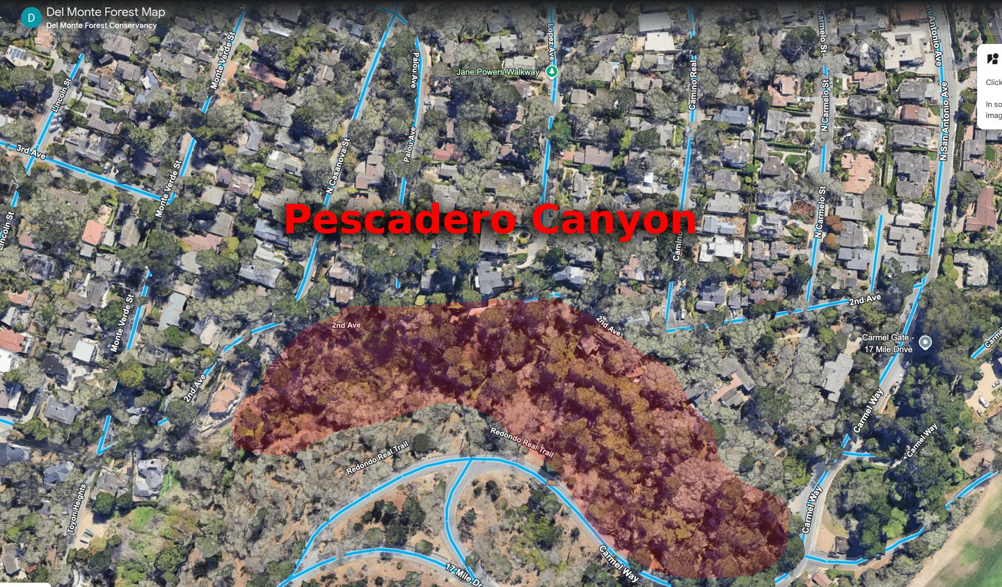
The Del Monte Forest Conservancy has a Google Earth map where you can explore Pescadero Canyon in 3D with street names.
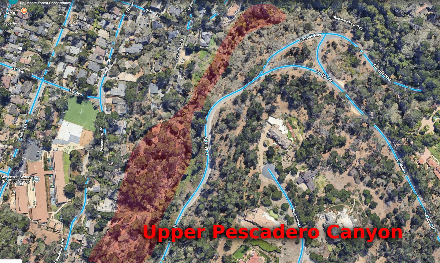
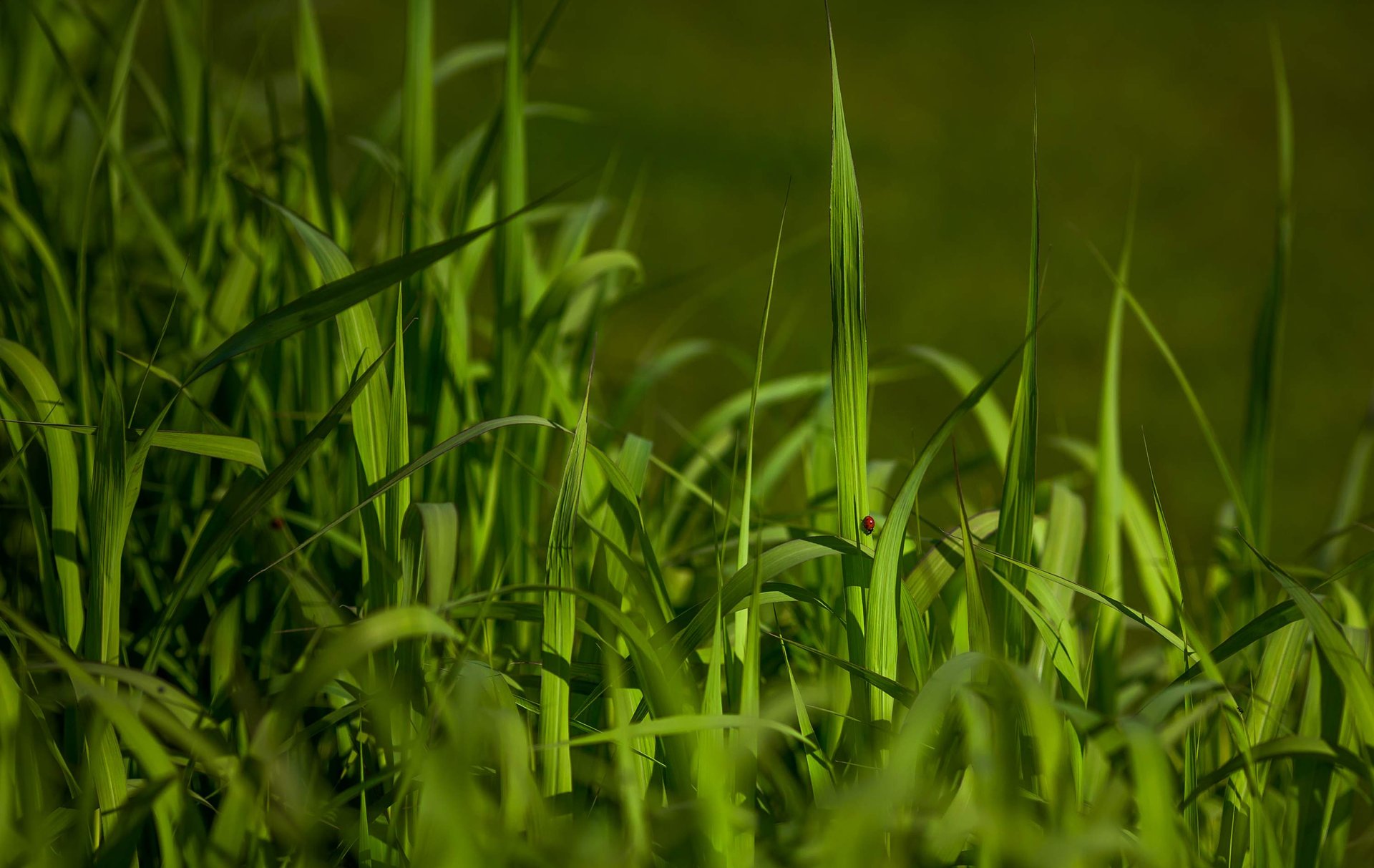
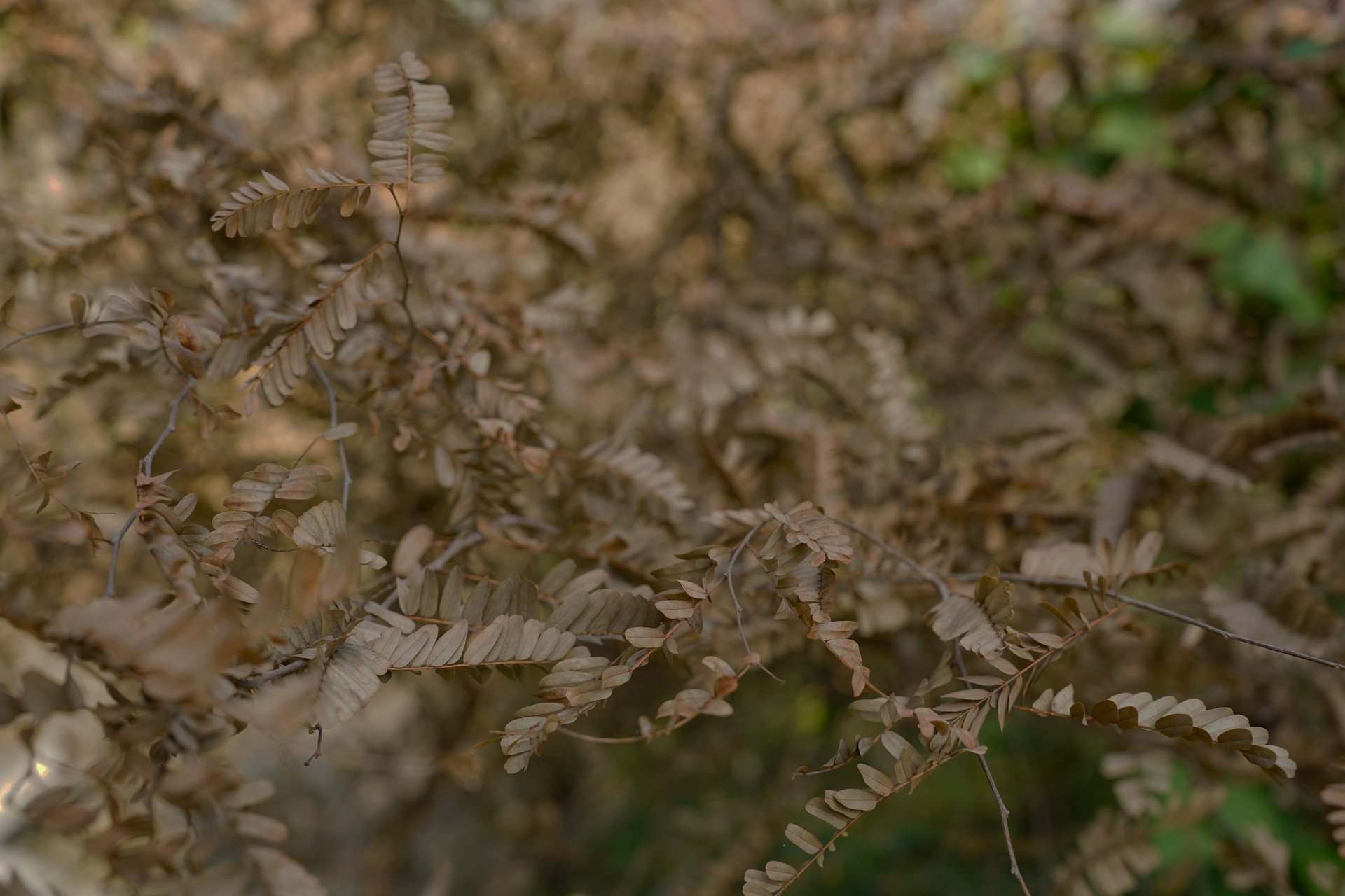
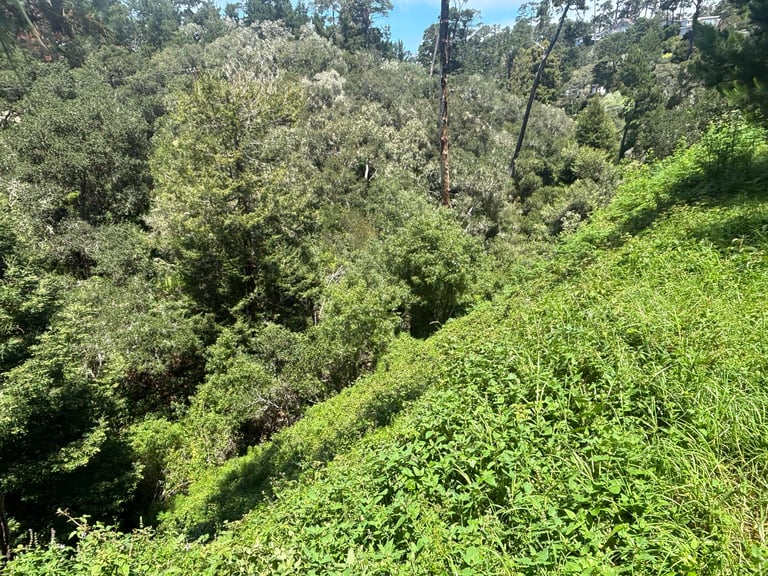
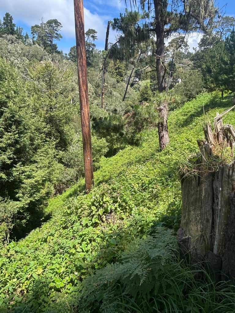
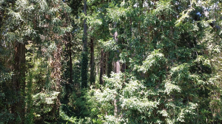
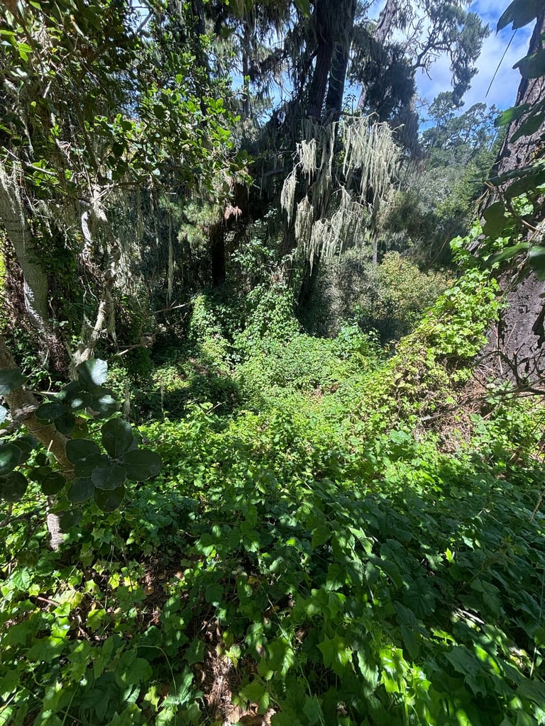
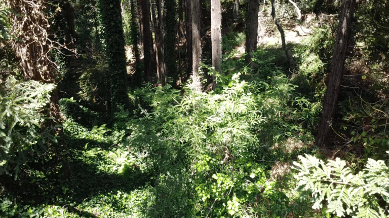
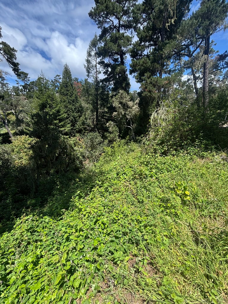
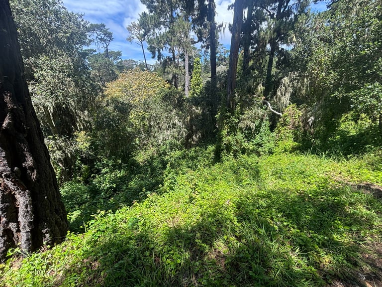
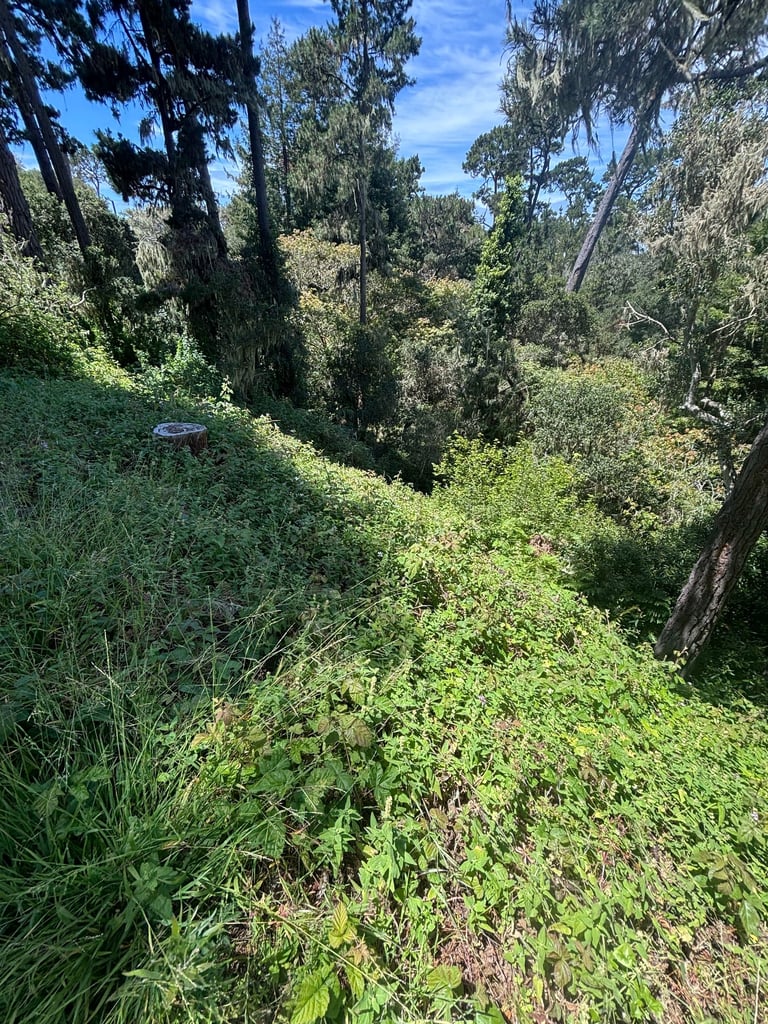
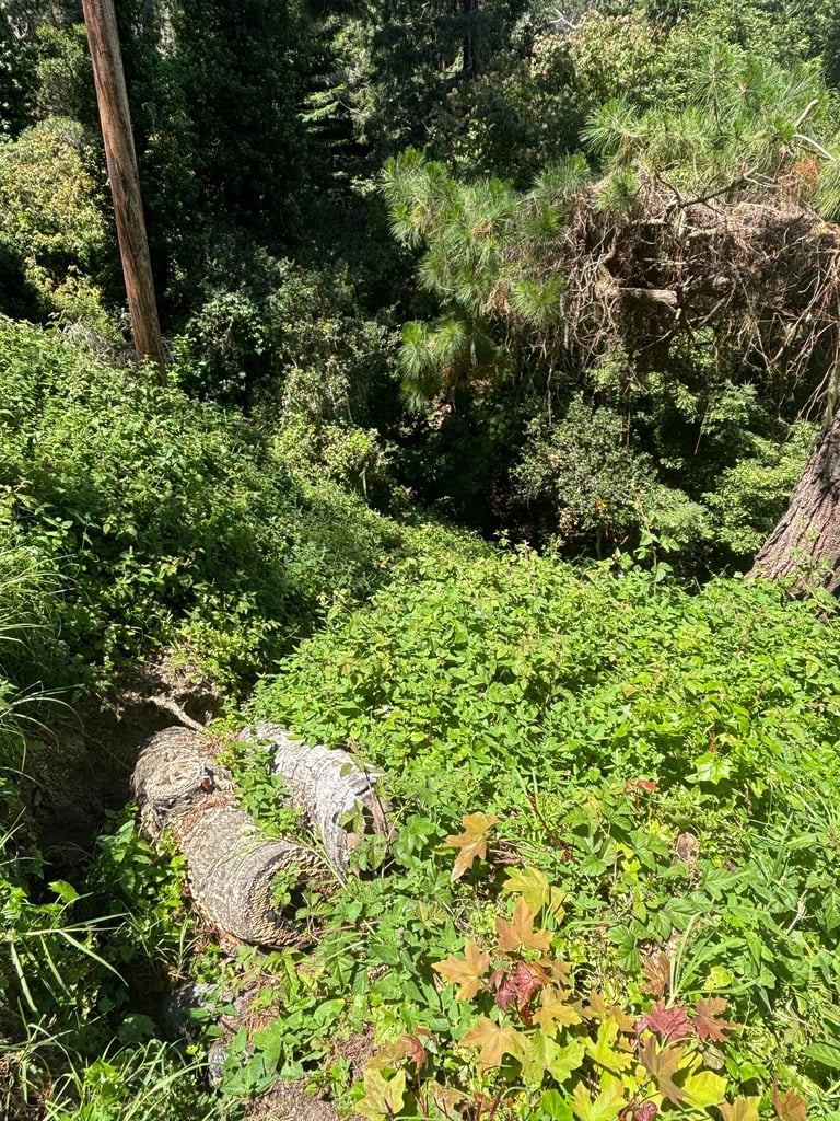
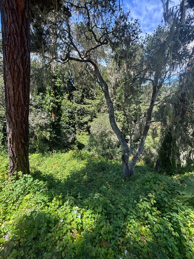
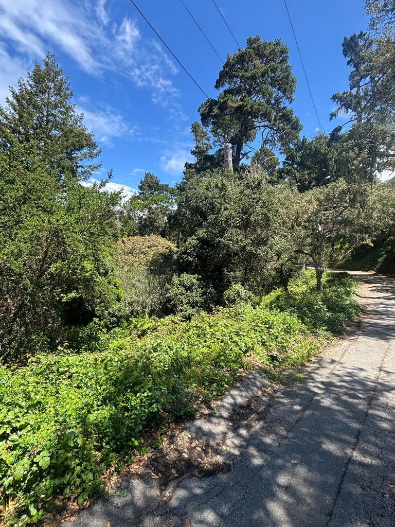
Just how overgrown with weeds and grasses is Pescadero Canyon? After 100 years of unrestrained growth, it's quite a jungle.
And as it dries out every year, it's just waiting to deliver a devastating wildfire that consumes Carmel-by-the-Sea and most likely Carmel Woods as well.
What about Pebble Beach? They're on the other side of Pescadero Canyon. They'll be fine, as they bring in grazing goats every year, so their side of the canyon is clear of overgrown weeds and grasses. It's also a wonderful place to hike amongst the trees.
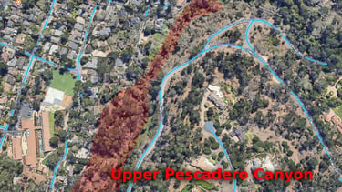
Click to enlarge photos
Let's keep Pescadero Canyon alive and well. Burning it to the ground would be a tragedy.

Pescadero Canyon has several vacant plots. The center one, a single-family residential lot, is owned by someone.
Are they responsible for keeping it clear of dangerous overgrowth like all the other lots throughout Carmel-by-the-Sea?


Make sure to check out the Pescadero Canyon Fire Maps
Call/Email the City Sign the Petition Donate ©2026. All rights reserved. Privacy policy